


- Title
- Erradicación de Damasco
- License
- Public Domain (PD)
-
+ Works in the public domain may be used freely without the permission of the former copyright owner.
+ For more info see http://www.copyright.gov/help/faq/faq-definitions.html. - Abstract
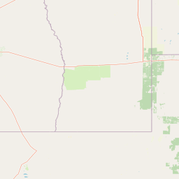
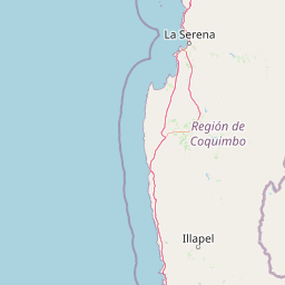
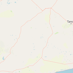
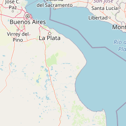
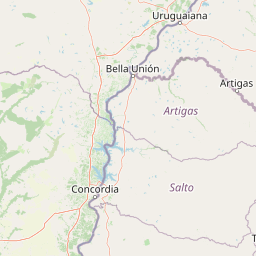
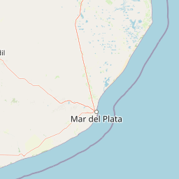
Localización de aquellas fincas en la que se proyecta la erradicación de las plantas de damasco. Según datos obtenidos del Censo Frutícola 2010, realizado por I. D. R.
- Publication Date
- July 12, 2018, 5:23 a.m.
- Type
- Vector Data
- Category
- Farming
- rearing of animals and/or cultivation of plants. Examples: agriculture, irrigation, aquaculture, plantations, herding, pests and diseases affecting crops and livestock
- Regions
- Argentina
- Owner
- oscar.giordano
- Maintenance Frequency
- There Are No Plans To Update The Data
- Restrictions
- formal permission to do something
- Edition
- Versión Final
- Purpose
Conocer la localización de las fincas en las que se proyecta erradicación de plantas de damasco.
- Language
- Spanish
- Supplemental Information
No se provee información
- Spatial Representation Type
- vector data is used to represent geographic data


Comments (0 total)
Log in to add a comment