


- Title
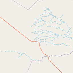
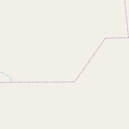
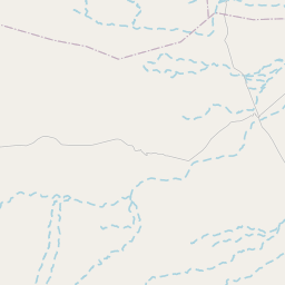
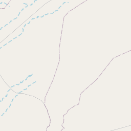
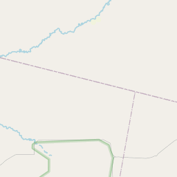
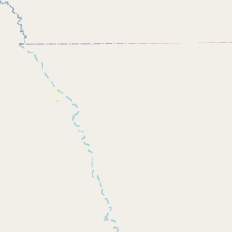
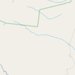
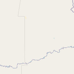
- Cuenca Río Diamante: Zonificación
- License
- Public Domain (PD)
-
+ Works in the public domain may be used freely without the permission of the former copyright owner.
+ For more info see http://www.copyright.gov/help/faq/faq-definitions.html. - Abstract
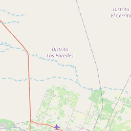
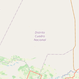
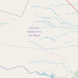
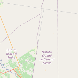
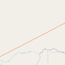
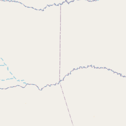
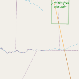
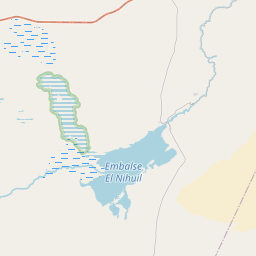
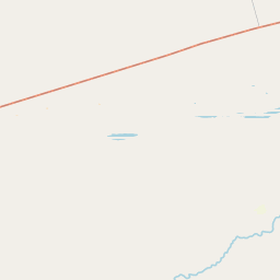
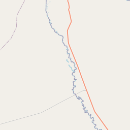
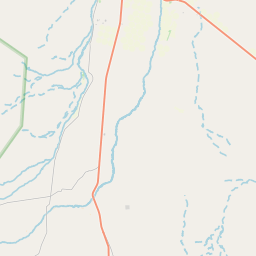
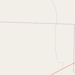
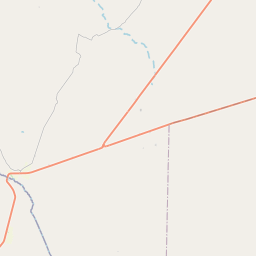
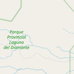
Zonificación de la cuenca del Río Diamante realizada para la toma de muestras en el campo, fuente: Dirección General de Irrigación, 2021
- Publication Date
- April 4, 2022, 10:20 a.m.
- Type
- Vector Data
- Keywords
- rio , zonificacion , cuenca , diamante
- Category
- Boundaries
- legal land descriptions. Examples: political and administrative boundaries
- Regions
- Argentina
- Owner
- oscar.giordano
- Maintenance Frequency
- There Are No Plans To Update The Data
- Restrictions
- formal permission to do something
- Edition
- Versión Final
- Purpose
Dividir la cuenca del Río Diamante para la toma de muestras en campo.
- Language
- Spanish
- Supplemental Information
No se provee información
- Spatial Representation Type
- vector data is used to represent geographic data


Comments (0 total)
Log in to add a comment